
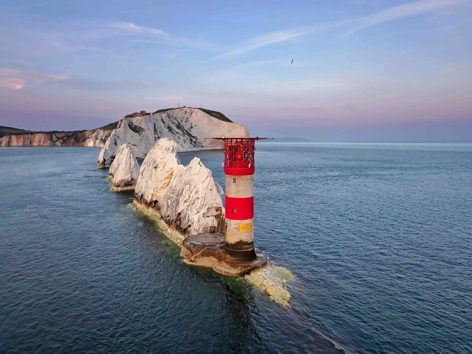
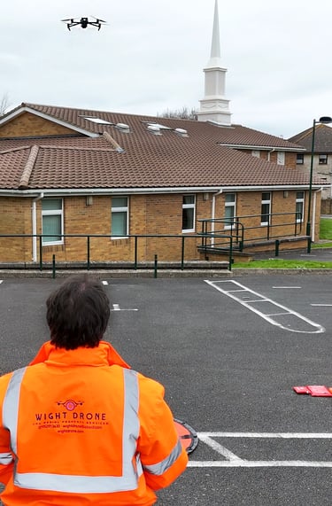
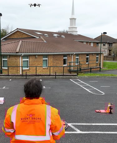
Aerial Survey & Inspection Data Services
Isle of Wight Based - National Coverage
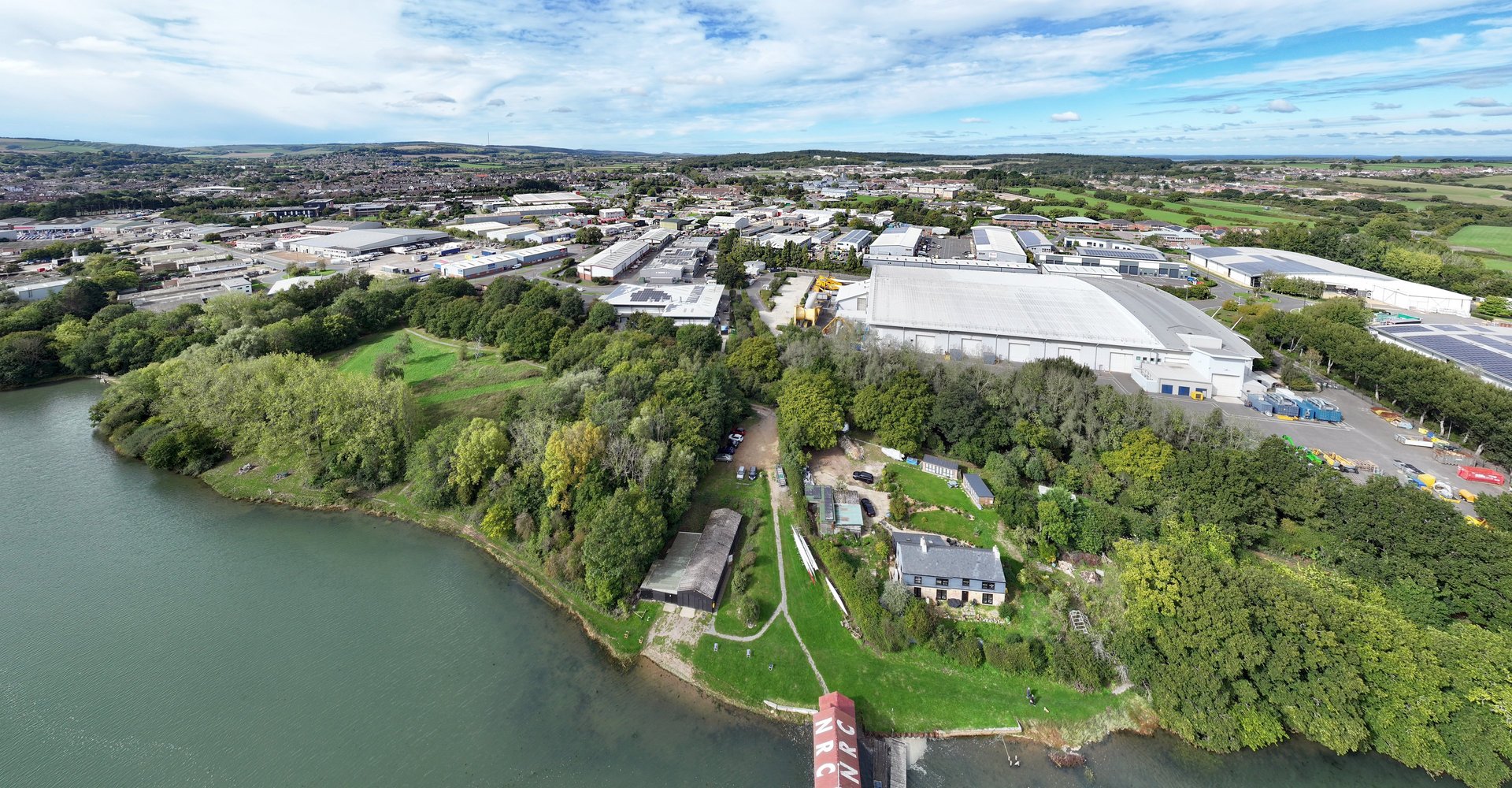
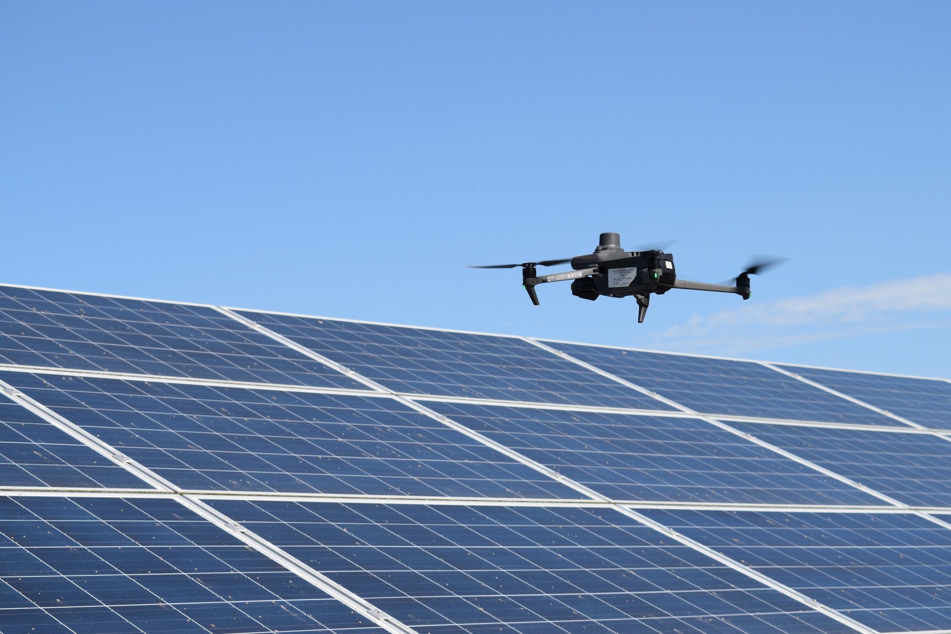
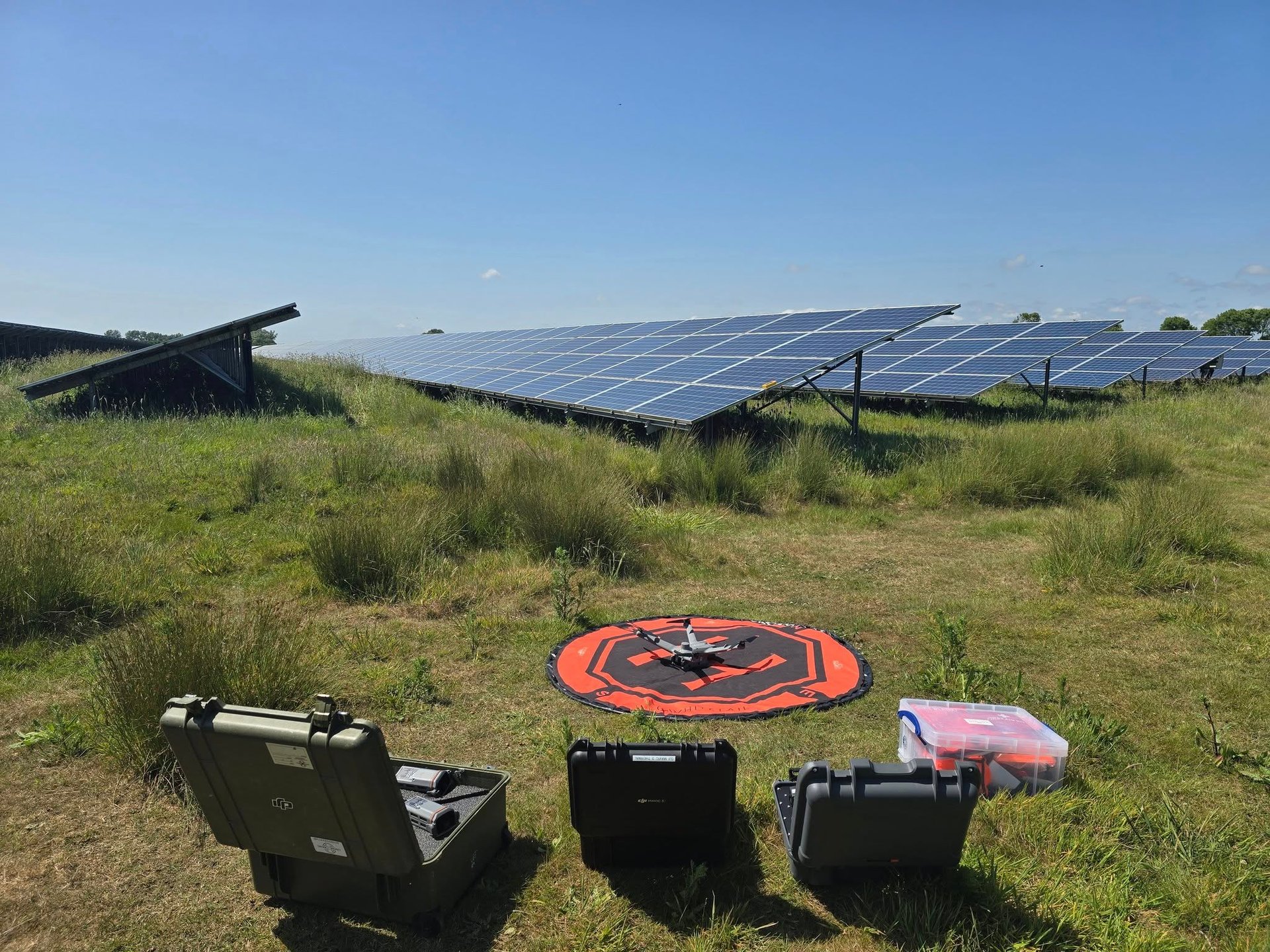
At Wight Drone we deliver accurate aerial data using professional UAV/Drone platforms and advanced sensor technologies, including LiDAR, high-resolution RGB imaging, thermal sensors, RTK/PPK positioning, and 3D photogrammetry.
Our Services
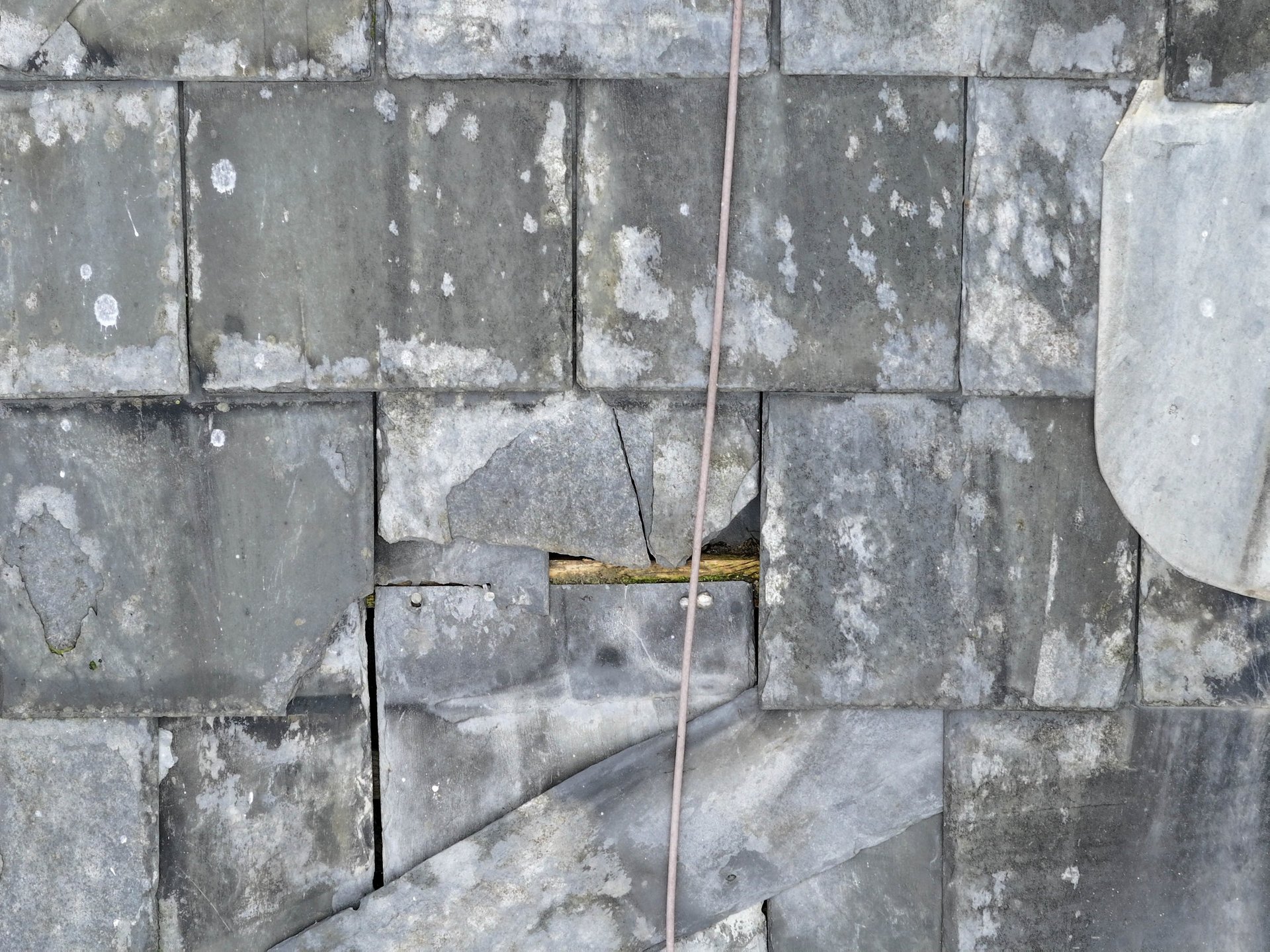
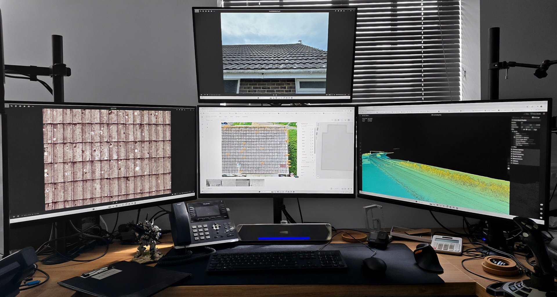
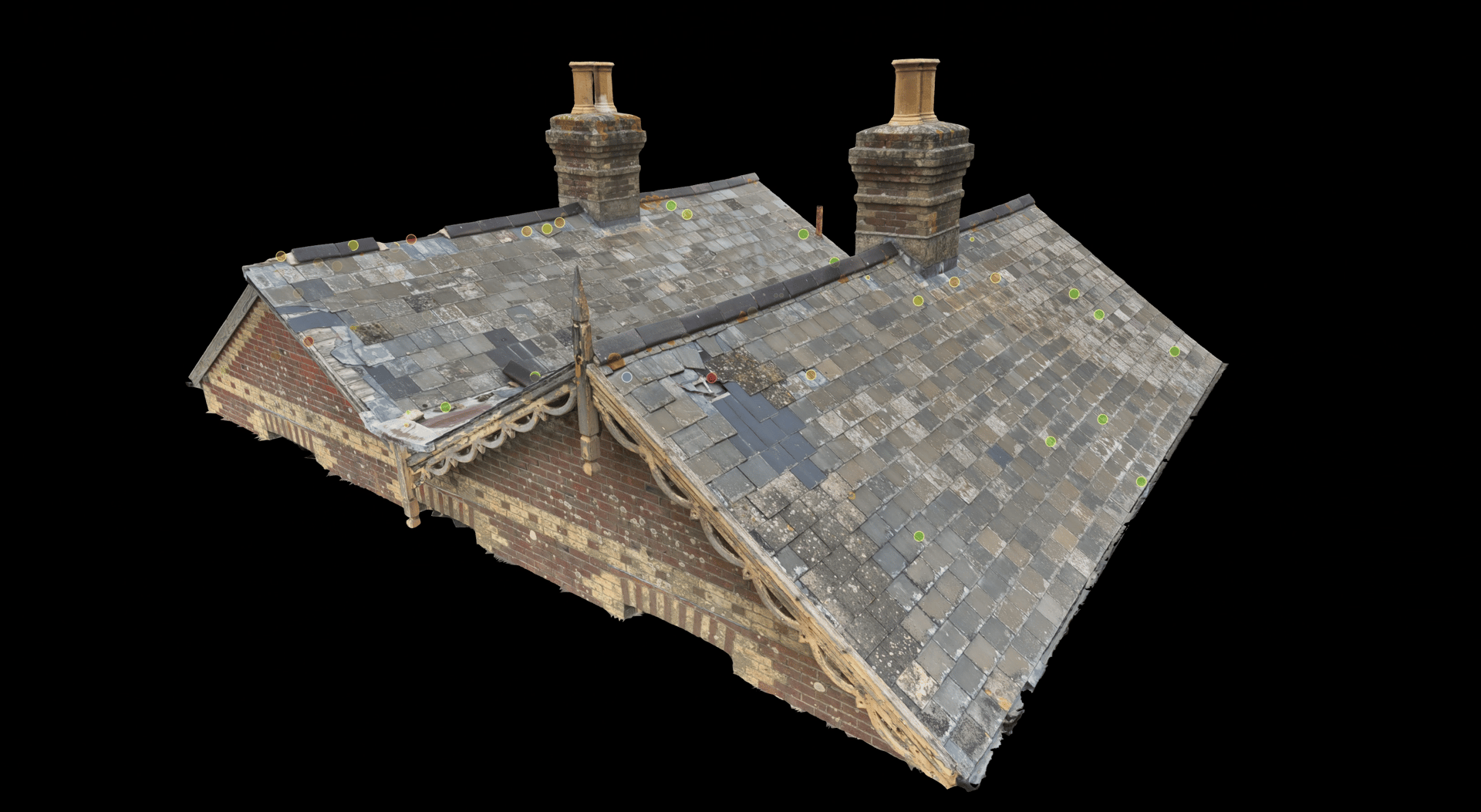
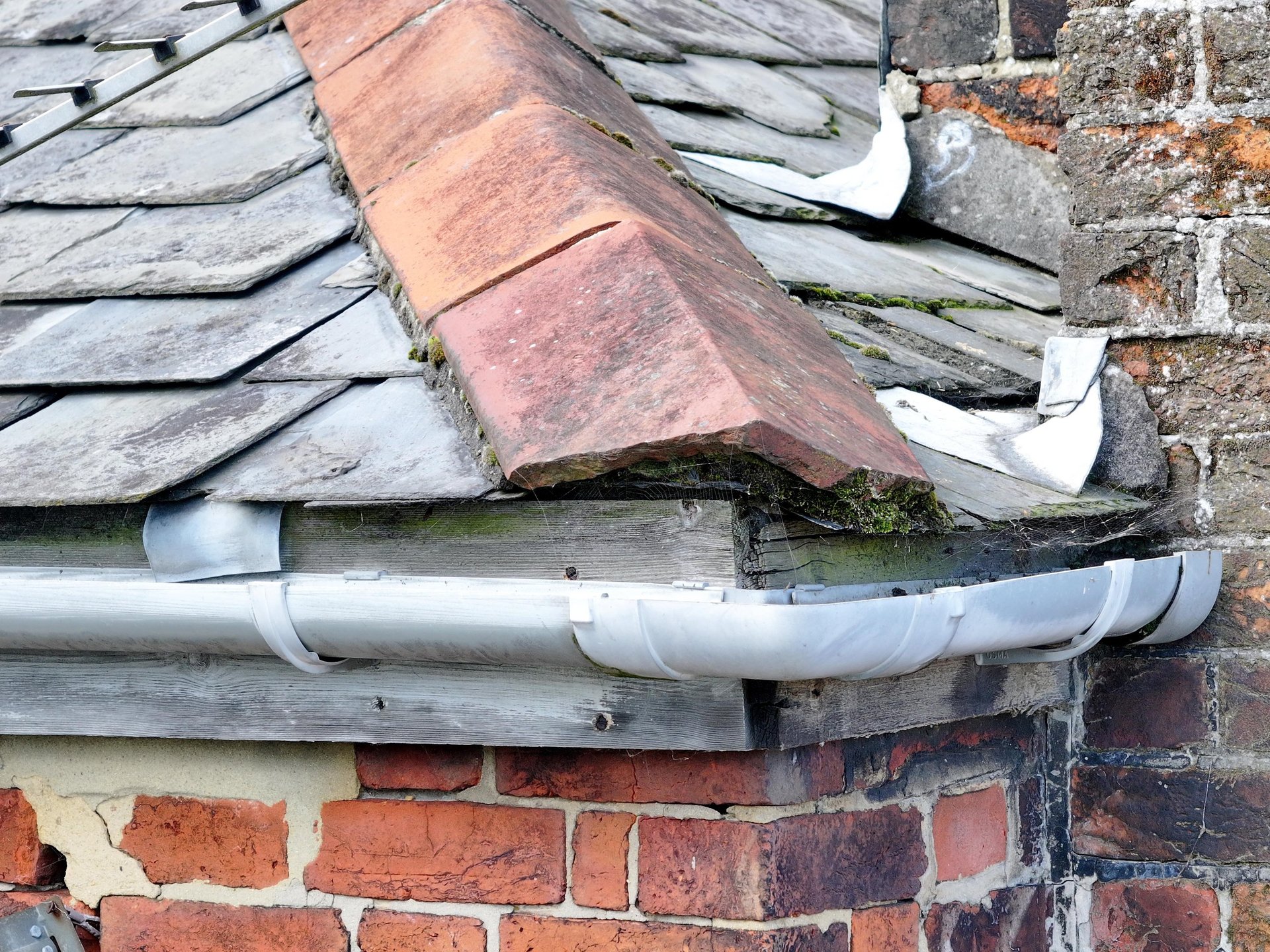
Technical roof inspections and surveys
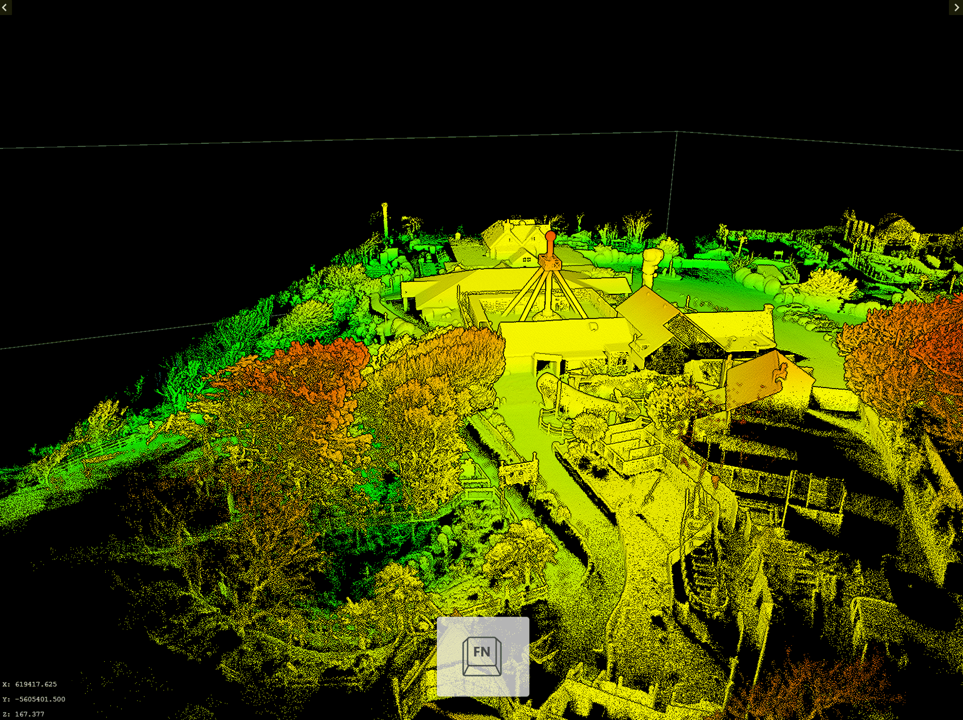
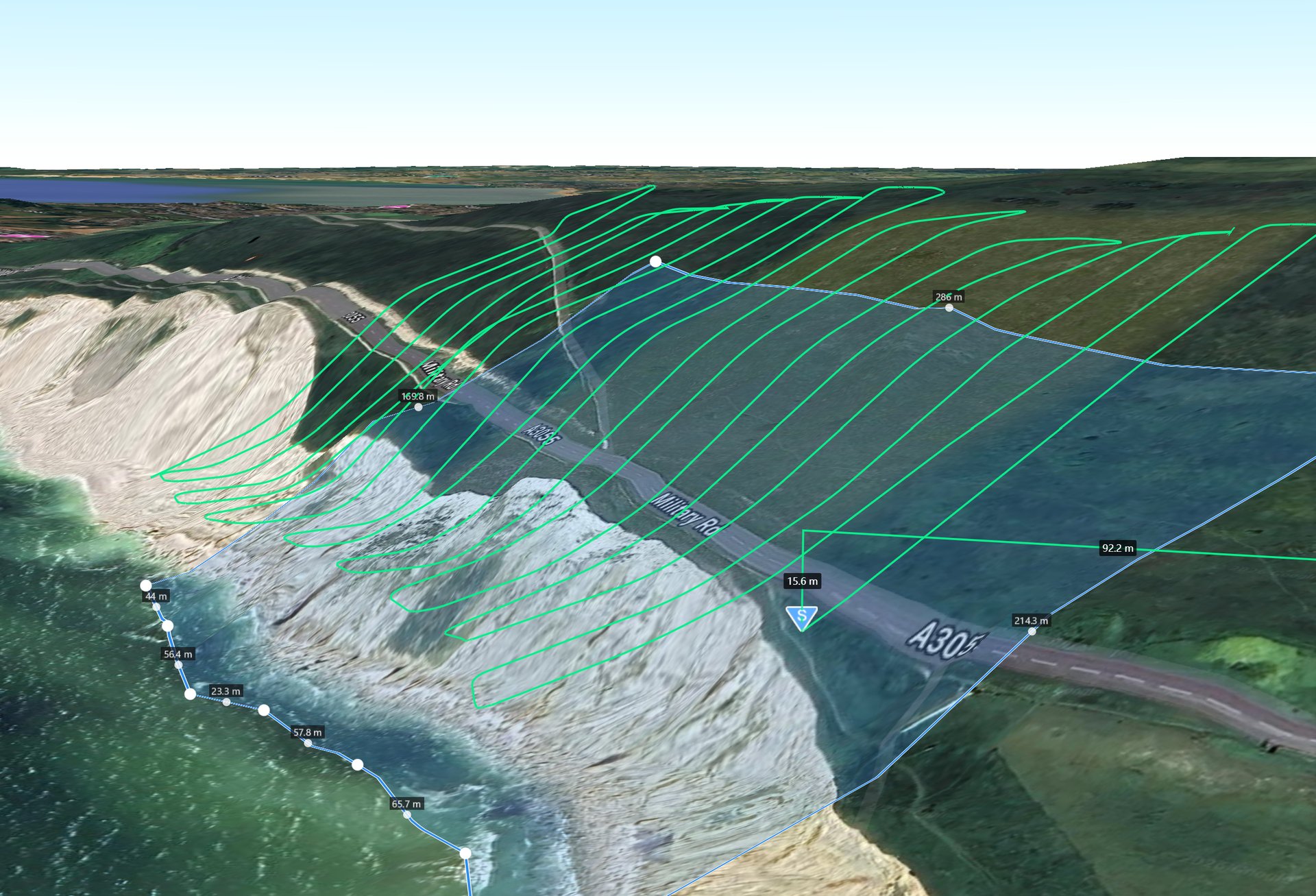
High-density LiDAR capture
3D modelling and digital twin creation
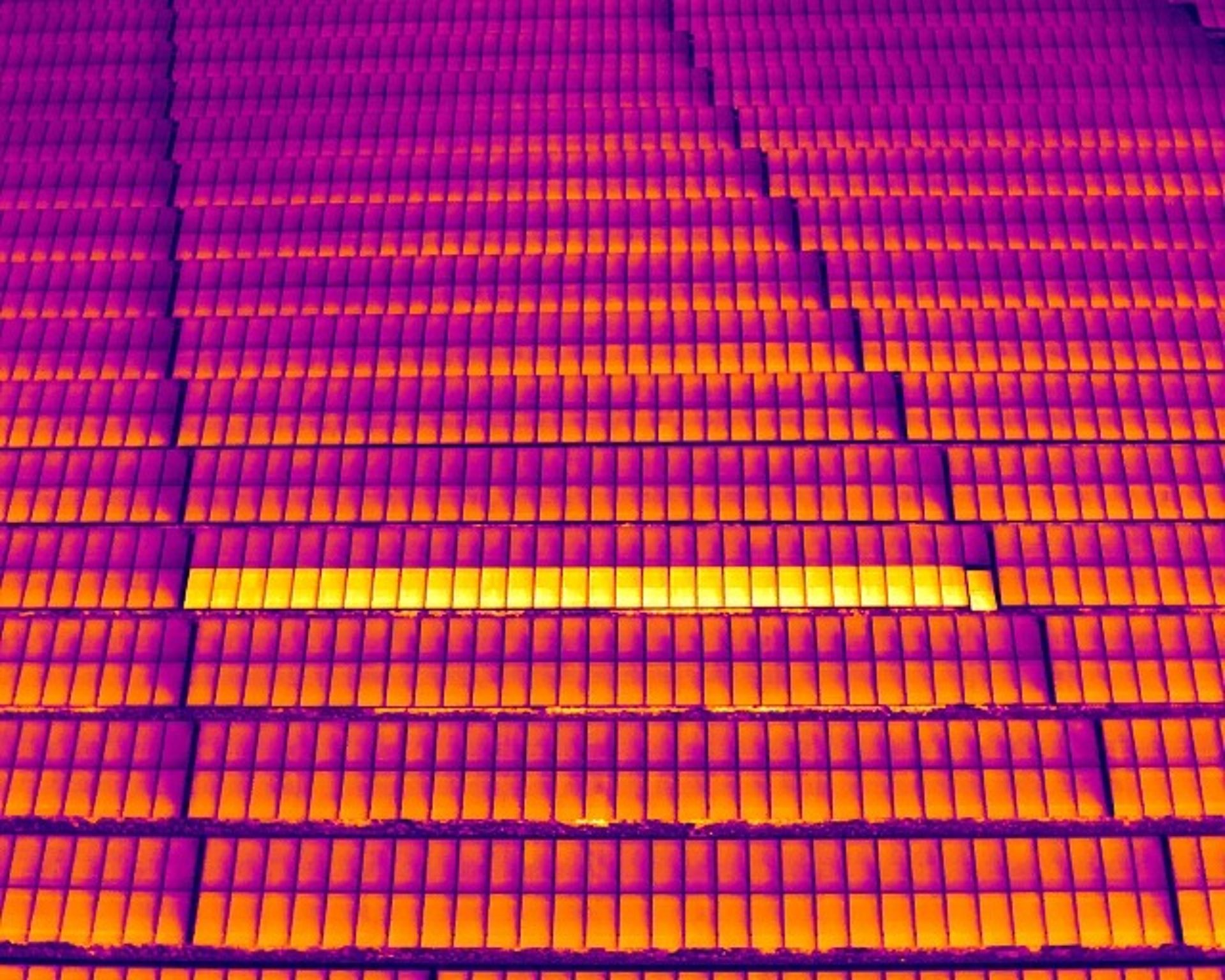
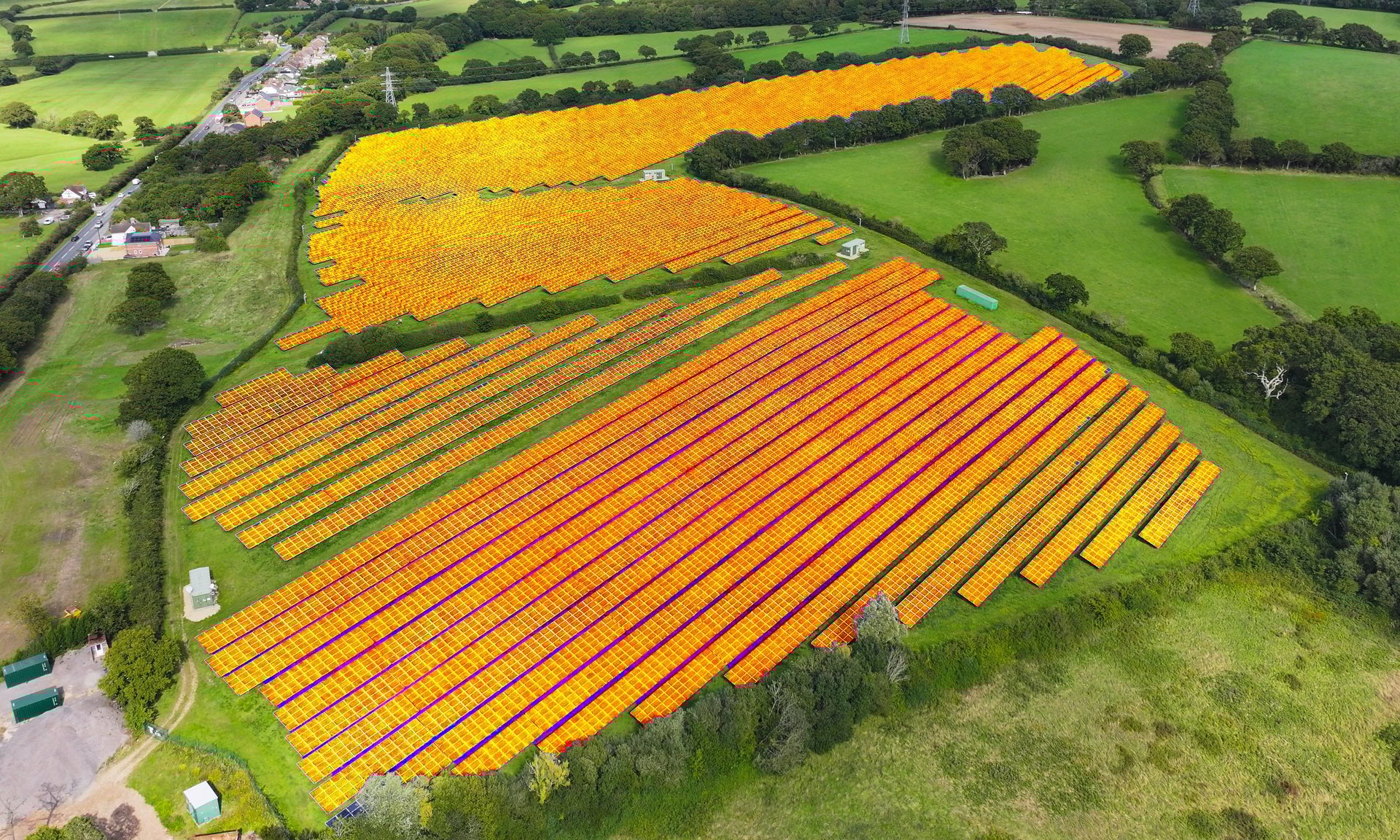
Thermal imaging surveys
Geospatial data
We provide reliable Aerial data to support informed decision-making across construction, surveying, engineering, and asset management.
Technical accuracy, Reliable data & End-to-end support.
Why Choose Us?
✅ Local Expertise – Based on the Isle of Wight, with in-depth knowledge of local regulations and environments
✅ CAA Certified – GVC with Operational Authorisation + A2 CofC
✅ Fully Insured – Covering all project types with private liability insurance
✅ Fast Turnaround & Custom Data – Quick delivery, tailored to your needs
✅ Drone Mapping, Surveys & Inspections – For property, land, infrastructure & more
Ready to take your project to new heights? Whether you need detailed roof inspections, 3D modelling, LiDAR surveys, thermal imaging, or geospatial data collection, Wight Drone is here to deliver precise, reliable results.
For quotes, enquiries, or bookings, please see our contact details below. Our team is happy to discuss your requirements and provide a tailored solution for your project.
Contact us today & let’s get your project off the ground!